
This is a challenging 4.5 mile circular route beginning at Belfast Castle and following the green way-marked arrows. It can also start from Belfast Zoo car park, Upper Hightown Road or Upper Cavehill Road.
We began at the car park just before the entrance barrier to Belfast Castle at 10am. We climbed the path above the car park until we reached the top, and turned right. We followed this path through the woodland, keeping to the left and up through the trees. Coming out of the wood is a plateau with a set of seats. The caves and McArt’s Fort are in front.
We continued up path and took a left around a large bowl-like crater called the Devil’s Punchbowl, which passes below the largest cave.
We continued climbing up the steps; at the top veer left to follow the path to the top of the hill and McArt’s Fort.
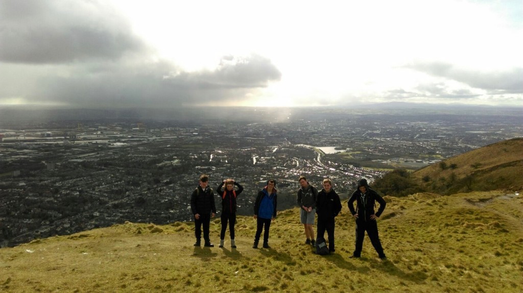
From McArt’s Fort we joined the main path on its gradual descent down the south-facing slopes of Cave Hill. Black Mountain and Divis could be seen as well as the Mourne Mountains in front of us.
We continued downhill on the main path, over a gate and then another gate with a cattle grid, bringing you to the second of two steep downhill paths.
This path lead us down past the top of Carr’s Glen and carried on for some distance before reaching the Upper Cavehill Road.


